
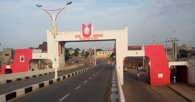
Nasarawa
Latitude: 12.0885 Lat (DMS) 12° 5' 19N
Longitude: 8.4026 Long (DMS) 8° 24' 9E
Elevation (Feet): 1669
Population Est.(2006): 596,669
Zip Code: 700282
History
Nassarawa LGA was carved out of the old Kano Municipal LGA. Its current population is estimated at 1.2million. It is bounded by Ungogo to the northwest;Gezawa to the northeast, Kumbotso to the southeast; Tarauni to the south and Fagge to the west. Nassarawa LGA has 13 wards: Brigade, Badawa, Dakata, Gama,Giginyu, Gwagwarwa, Hotoro North, Hotoro South, Kaura Goje, Kawaji, Kawo, Tudun Murtala and Tudun Wada.
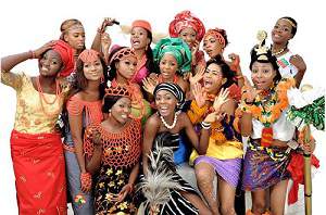
This LGA can be described as urban with a multi-ethnic, multi-religious and multi-national population of Hausas, Fulanis, Yorubas, Arabs, Nigerians, Malians, Ghanaians and several other groups.
Nassarawa is a commercial centre with the following major markets: Gwagwarwa, ‘YanKaba, Tudun Wada and Kasuwar Allah Sarki situated respectively at Brigade, off Hadejia Road, Tudun Wada Road and Dakata areas. There are also seven overnight parks located at ‘Yan Kaba market, ‘Yan Kaba motor park, Hotoro NNPC petrol tanker depot, Dan Marke, Dakata market, Bompai Road and Tudun Wada bus stop.
Several truck and bus companies operate from Nassarawa. More than 2000 trucks and buses leave the LGA for various destinations; about 1,200 trucks and buses remain there overnight.
There are also many industries and construction companies, which together with the markets and transport businesses– generate substantial revenue for the LGA.
There is a substantial entertainment industry for both high-income and ordinary persons in this LGA: several cinemas, outdoor snooker clubs, hotels, bars and clubs.
A large number of high-risk and vulnerable groups can be found in Nassarawa. These include FSW, long distance truck, tanker and bus drivers, out-of-school youth, migrant labourers, construction workers and uniformed service employees (including the armed forces, customs and immigration).
Both public and private health care facilities serve the people living within and around Nassarawa. Six NGOs provide HIV/AIDS related services and numerous community groups work in the LGA. Some of these community groups are essentially vigilante groups; others are involved in community development and self-help projects. There are numerous primary and secondary schools and two tertiary institutions in the LGA.
The LGA has no plans to conduct HIV/AIDS activities, but is quite willing to participate actively in and support programmes and projects that address this infection.
Community leaders, both traditional and religious, have expressed their willingness to support HIV/AIDS-related activities in their community – as long as such activities do not conflict with the beliefs and customs of their people.
Nassarawa LGA can be divided into three demographic sub areas. The first covers Tudun Wada, Gwagwarwa, Dakata, Kawaji, Gama and some neighbouring wards; these are poor and densely populated. This sub-area has very few public facilities, but many privately run quaranic schools and mosques. The second division covers the Government Reservation Area (GRA) Nassarawa and parts of Hotoro. This is a low-density sub-area with wide streets and generally cleaner environment than the first described above. The third sub-area includes Bompai, home too many industries. It is the oldest industrial estate in Kano State.
Source: dspace.africaportal
 Emergency Numbers (112, 767)
Banks in Kano
Brief History of Kano
Business and Economy
Festivals and Carnivals
General and Teaching Hospitals
Hotels and Guest Houses
Local Governments & LCDAs
Kano State Ministries Agencies and Parastatals
Police Stations
Popular Markets
Prominent Towns
Restaurants, Bars, Night Clubs
Shopping Malls
Kano State Executive Council
Tourist Attractions
Traditional Rulers
 |
 |
 |
 |