Brief History of Kogi State
Kogi State was carved out of Kwara and Benue States on August 27, 1991 by the then regime of General Ibrahim Babangida. It's capital is Lokoja.
Loacted in north central Nigeria, Kogi State occupies 29,833 square kilometres. Kogi State is the most centrally located of all the states of the federation. It comprises the Igala, Ebira, Kabba, Yoruba and Kogi divisions of the former Kabba province.
It shares common boundaries with Niger, Kwara, Nassarawa and The Federal Capital Territory to the north. To the east, the state is bounded by Benue state, to the south by Enugu and Anambra States, and to the west by Ondo, Ekiti and Edo states. Lokoja, the Niger/Benue confluence town is the state capital. Ethnically, Yoruba, Nupe and Bassa forming the main ethnic groups.
Kogi State is popularly called the confluence state due to the fact that the confluence of Rivers Niger and Benue occurs there.
 Banks in Kogi
Brief History of Kogi
Business and Economy
General and Teaching Hospitals
Hotels and Guest Houses
Kogi State Ministries Agencies and Parastatals
Police Stations
Popular Markets
Restaurants, Bars and Night Clubs
Shopping Malls
Traditional Rulers
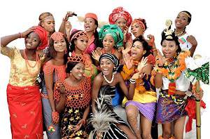
FESTIVALS and CARNIVALS
Iwaji FestivalTOURIST ATTRACTIONS
Akwete WeaversArochukwu Cave
Azumini Blue River
National Museum of Colonial History, Aba
National War Museum, Umuahia
Connect With Us
 |
 |
 |
 |