
Akamkpa
Latitude: 5.3125 Lat (DMS) 5° 18' 45N
Longitude: 8.3552 Long (DMS) 8° 21' 19E
Elevation (Feet): 830
Population Est.: 38742
Zipcode: 542101
History
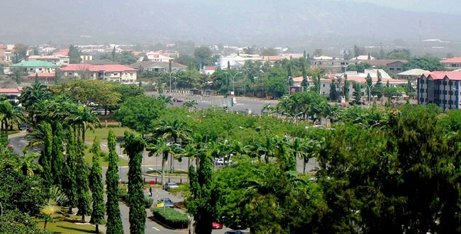
Akamkpa is a city in Akamkpa Local Government Area, Cross River, Nigeria. It is one of 10 cities within the local government, which was town was originally created in 1976. The Republic of Cameroon lies west of the town. There are two main ethnic groups in Akamkpa, the Ejaghama and Dusauga iyoung. The town has a few agricultural estates such as Oil Palm Estates and Rub Estates. Akamkpa has an abundance of granite rocks, which lead to the establishment of a few quarrying companies. The town is also home to its very own College of Education.
|One of the 18 local government areas in cross river state started off in 1960s as Ejagham – Dusanga Iyong Iyong county council and became Akamkpa division in 1973. It metamorphosed into a local government area in 1976. Good Akamkpa In 1991, Biase and part of Odukpani Local Government Area (Eniong) were excised from Akamkpa.
Presently Akamkpa accounts for 4930 sq km, almost a quarter of the 20156 sq km land area that constitutes cross river state, making it not the largest local government area in the state, but indeed the largest in all of southern Nigeria.
Located in southern senatorial district of the state, Akamkpa is bounded by Odukpani and Akpabuyo LGAs in the south and east respectively, Biase and Yakurr LGAs to the north-west, Ikom and Etung to the north and republic of Cameroun to the east.
 Emergency Numbers (112, 767)
Banks in Cross-River
Brief History of Cross-River
Business and Economy
Festivals and Carnivals
General and Teaching Hospitals
Hotels and Guest Houses
Local Governments & LCDAs
Cross-River State Ministries Agencies and Parastatals
Police Stations
Popular Markets
Prominent Towns
Restaurants, Bars, Night Clubs
Shopping Malls
Cross-River State Executive Council
Tourist Attractions
Traditional Rulers

 |
 |
 |
 |