
History
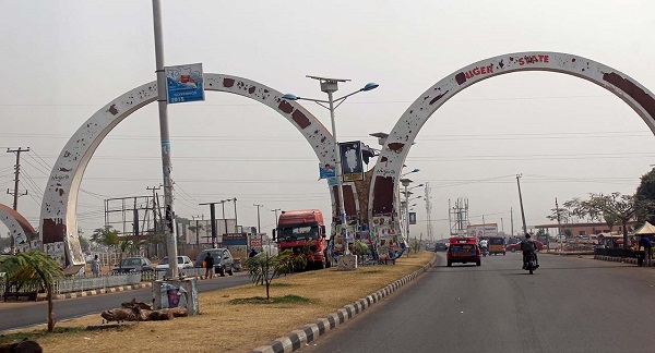
Niger State was created the then North Western State on 3rd February, 1976 by the then regime of General Murtala Mohammed. It has Minna as it's capital. Other major cities are Bida, Kontagora, and Suleja.
Located in the Middle Belt of Nigeria, Niger State covers 76,363 square kilometres. It is the largest Nigerian state by land area.
The state has a small majority of Muslims. The state is named for the River Niger. Two of Nigeria's major hydroelectric power stations are located in Niger State: the Kainji dam and the Shiroro dam. Kainji National Park is also situated in Niger State. It contains the lake formed by the Kainji dam. It is the largest National Park of Nigeria, but a lot of the wildlife has disappeared.
Niger State shares boundaries with Kaduna State and Federal Capital Territory, Abuja States in the East and South-East respectively, Kebbi and Zamfara in the North, Kwara and Kogi States in the South and Benin Republic in the East.

Banks in Niger
Brief History of Niger
Business and Economy
General and Teaching Hospitals
Hotels and Guest Houses
Niger State Ministries Agencies and Parastatals
Police Stations
Popular Markets
Shopping Malls
Restaurants, Bars, Night Clubs
Traditional Rulers
TOURIST ATTRACTIONS
Bina FootprintsFirst Railway Locomotive Engine
Gurara Waterfalls
Lord Lugard Colonial Ruins
Zuma Rock
FESTIVALS AND CARNIVALS
Durbar Festival
Connect With Us

|

|

|

|